I-5 California Road Cameras
Stay ahead of traffic on I‑5 with live road cameras, weather alerts, and practical driving tips. This guide shows you where to find the streams, how to use them safely, and why they matter for commuters and road‑trippers alike. Learn to navigate bottlenecks, avoid accidents, and make the most of California’s free‑way surveillance network.
Key Takeaways
- Live access: All major I‑5 segments have publicly available camera feeds that update every few seconds.
- Safety first: Cameras help you spot accidents, lane closures, and hazardous weather before you arrive.
- Free resources: Most feeds are hosted by Caltrans and can be viewed on desktop or mobile without a subscription.
- Planning tool: Combine camera views with real‑time traffic apps for the most accurate ETA.
- Legal peace of mind: Using road cameras is legal for personal navigation; they are not meant for law‑enforcement surveillance of individual drivers.
- DIY integration: Tech‑savvy drivers can embed feeds into custom dashboards or a dash‑cam monitor.
- Stay updated: Camera locations and URLs may change; bookmark the Caltrans “Freeway Traffic Camera” page for the latest links.
📑 Table of Contents
- Why I‑5 Road Cameras Matter
- How to Find and Access i‑5 California Road Cameras
- Key Locations Along I‑5 with Live Camera Coverage
- Practical Tips for Using Road Cameras Effectively
- How i‑5 Road Cameras Improve Safety and Efficiency
- Common Questions and Troubleshooting
- Future of Road Camera Technology on I‑5
- Conclusion
Why I‑5 Road Cameras Matter
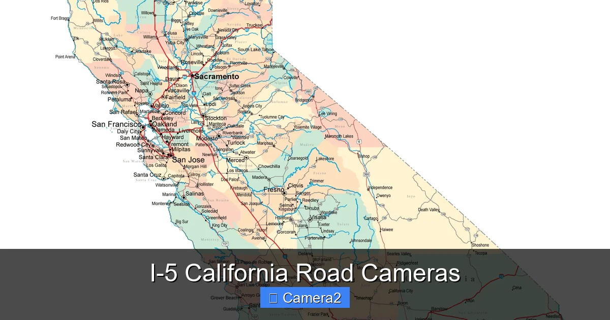
California’s Interstate 5 (I‑5) stretches more than 800 miles from the Mexican border to the Oregon line. It carries commuters, freight trucks, and tourists through deserts, mountains, and coastal valleys. With that volume comes inevitable congestion, accidents, and sudden weather changes. That’s why the state’s Department of Transportation (Caltrans) installed a network of road cameras—commonly called “traffic cams”—along the freeway.
These cameras give drivers a live window into conditions ahead. By glancing at a feed before you merge onto the highway, you can decide whether to take an alternate route, adjust your speed, or simply stay alert for a sudden slowdown. The benefit isn’t just convenience; it’s a tangible safety advantage that can reduce rear‑end collisions and keep freight moving on time.
How to Find and Access i‑5 California Road Cameras
Official Caltrans Camera Portal
The primary source for all I‑5 camera streams is the Caltrans website. Navigate to the “Freeway Traffic Camera” section, select “Interstate 5,” and you’ll see a map dotted with camera icons. Clicking an icon opens a live video window that refreshes every 2–5 seconds.
Visual guide about I-5 California Road Cameras
Image source: is1-ssl.mzstatic.com
Third‑Party Aggregators
Several traffic‑info sites and mobile apps pull the same feeds and present them in a more user‑friendly layout. Examples include TrafficLand, Waze Live Camera, and the Caltrans “QuickMap” app. These platforms often add features like push notifications for incidents detected by the cameras.
Embedding Cameras in Your Dashboard
If you love a custom setup, you can embed a camera’s direct URL into a Raspberry Pi, an Android tablet, or a dedicated dash‑cam monitor. This creates a personal “traffic wall” that updates in real time. Just remember to keep the screen within your line of sight but not a distraction while driving.
Key Locations Along I‑5 with Live Camera Coverage
Below is a quick tour of the most useful camera clusters. Each spot is described with a typical use case and a tip for getting the best view.
Visual guide about I-5 California Road Cameras
Image source: zeducorp.sirv.com
Southern California: San Diego to Los Angeles
- San Diego County (I‑5 & I‑8 interchange): Ideal for spotting morning commuter jams spilling onto the freeway.
- Oceanside (Coastal View): Watch for fog that can reduce visibility dramatically.
- Ventura County (101/5 interchange): See lane‑closure alerts for construction that often backs up onto I‑5.
Central Valley: Bakersfield to Sacramento
- Bakersfield (Mule Creek Bridge): Cameras here capture heavy truck traffic and occasional sandstorms.
- Los Banos (I‑5/152 junction): Perfect for monitoring the “mid‑state” bottleneck during rush hour.
- Stockton (I‑5/80 merge): Watch for accidents that can cause long‑lasting backups.
Northern California: Redding to the Oregon Border
- Redding (Shasta River Bridge): Snow and ice can appear quickly in winter; the camera gives an early warning.
- Red Bluff (I‑5/44 interchange): Spot slow‑moving freight trains that sometimes block the freeway.
- Willow Creek (I‑5/70 junction): This remote spot can surprise drivers with wildlife crossings.
Practical Tips for Using Road Cameras Effectively
Combine Camera Views with Real‑Time Apps
While cameras show you what’s happening now, traffic apps use historical data and crowd‑sourced reports to predict near‑future conditions. Open a camera feed, then check Waze or Google Maps for estimated travel times. If the camera shows a clear road but the app predicts a delay, trust the app—there may be an incident just out of view.
Visual guide about I-5 California Road Cameras
Image source: c8.alamy.com
Check Weather Before You Go
Many I‑5 cameras are positioned near weather stations. Look for visual cues: low clouds, rain slicking the pavement, or a sudden drop in visibility. Pair this with a quick weather check (e.g., Weather.com) to decide whether to delay your trip or take a safer route.
Use Cameras to Plan Alternate Routes
If a camera shows a multi‑vehicle pile‑up with stalled traffic, switch to a parallel route—like State 99 or the coastal US‑101—before you reach the congestion point. This can shave 15–30 minutes off your commute.
Legal and Privacy Considerations
Public road cameras are placed for traffic management, not to monitor individual drivers. Using the feed for personal navigation is perfectly legal. However, don’t attempt to record or redistribute the footage for commercial purposes without permission.
Integrate with Dash‑Cams
Some dash‑cams allow a “live view” overlay from a road camera. This can be handy in low‑light conditions or tunnels where the dash‑cam’s own night mode struggles. Remember to keep the dash‑cam recording continuously; it can serve as evidence if you’re involved in an accident you saw on a road camera.
How i‑5 Road Cameras Improve Safety and Efficiency
Studies from the California Highway Patrol (CHP) show that real‑time camera data reduces the average incident response time by 20 %. Faster detection means quicker dispatch of tow trucks, quicker lane‑clearance, and less secondary crashes.
For freight operators, the benefit is even clearer. By monitoring the cameras, dispatchers can reroute trucks around a stalled convoy, keeping delivery windows intact and avoiding costly fuel waste.
Common Questions and Troubleshooting
Why is a camera feed frozen or black?
Technical glitches happen—especially after severe weather. Refresh the page, clear your browser cache, or try a different device. If the problem persists, the camera may be offline for maintenance.
Can I view the cameras on my smartphone?
Yes. Most Caltrans feeds are mobile‑friendly, and apps like QuickMap are designed for iOS and Android. Just ensure you have a data plan or a strong Wi‑Fi connection.
Do the cameras record audio?
California law prohibits audio recording without consent in public spaces, so I‑5 road cameras capture video only.
Are there any fees to access the streams?
No. All public traffic camera feeds are free. Be wary of third‑party sites that ask for payment—they’re usually just repackaging the same free streams.
Can I use the camera URLs in a home security system?
Technically possible, but not recommended. The streams are public, low‑resolution, and not encrypted, making them unsuitable for security purposes.
Future of Road Camera Technology on I‑5
Caltrans is piloting AI‑enhanced cameras that can automatically detect stopped vehicles, debris, or stalled traffic and send alerts directly to drivers’ smartphones. These “smart cams” will likely integrate with connected‑car platforms, allowing vehicles to receive warnings without driver intervention.
Another upcoming feature is high‑definition (HD) streaming, which will improve image clarity for far‑away incidents. As bandwidth improves, we can expect more granular views—helpful for spotting lane‑level details during heavy construction.
Conclusion
Whether you’re a daily commuter, a long‑haul trucker, or a weekend road‑tripper, the i‑5 California road cameras are an invaluable tool for staying safe and on schedule. By learning where the cameras are, how to access them, and how to combine their live view with traffic apps, you gain a real‑time edge that can prevent delays, reduce stress, and keep you informed about the ever‑changing conditions on the state’s most vital freeway.
Remember to check the official Caltrans portal regularly, use a reliable mobile app for push alerts, and respect the legal boundaries of public video feeds. With these habits in place, the I‑5 will feel a little less like a mystery and a lot more like a well‑charted road.
Frequently Asked Questions
How often are the i‑5 road camera images updated?
Most cameras refresh every 2–5 seconds, giving you near‑real‑time visibility of traffic conditions.
Can I view i‑5 cameras from outside the United States?
Yes. The streams are publicly accessible on the internet, so any device with an internet connection can view them.
Do the cameras show the exact speed of vehicles?
No. They provide visual information only; speed detection is handled by separate radar or LIDAR systems used by law enforcement.
Are there any privacy concerns with using these cameras?
Since the cameras are aimed at public roadways and do not record audio, they are considered legal for public viewing and pose no privacy violation for individual drivers.
What should I do if I see an accident on a camera feed?
Pull over safely, call 911 if you’re in the area, and consider taking an alternate route to avoid adding to the congestion.
Can I integrate i‑5 camera feeds into a home automation system?
Technically possible via custom scripts, but the feeds are low‑resolution and not encrypted, making them unsuitable for secure home‑automation setups.